
Dear Mineralocity Subscriber,
We’ve officially crossed the border! Our platform now includes mine names and precise GIS locations across all Canadian provinces. This expansion makes Mineralocity a truly North American resource, with human-verified production data and contact info currently being layered in.
Your Data + Our Data: Direct GIS Integration
You can now take the power of Mineralocity “to-go.” We are making our verified datasets available for purchase as standalone layers. This allows you to plug our audited mine locations and contact lists directly into your own internal GIS environment—giving you a custom view that combines your proprietary intelligence with our verified industry context.
Our mission is to provide data you can actually drive to, not just look at on a screen. We do the heavy lifting of verification so that your team can focus on what matters: making informed, profitable decisions.
Best regards,
Crystal Burgess
CEO & Co-Founder, Burgex Mining Consultants
We’ve added Canadian Mining Operations!
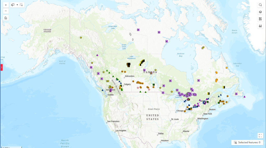
Expanding into new territories is a process, and we wanted to get these foundational data points into Mineralocity while the heavier work of data extraction continues behind the scenes. It doesn’t have the full breadth of our US layers yet, but it provides a much-requested starting point for Canadian market analysis.
This is a long-term project for us. Our goal is to supplement this layer with more granular info as the data becomes available, ensuring Mineralocity remains your primary source for mineral site intelligence.
Advanced Data Layers Are Now Available
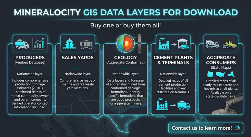
Contact our team today to add any of these powerful datasets to your dashboard:
- Producers Analytics: Tap into a nationwide map of active operations featuring year-by-year production tonnage estimates dating back to 2020, parent company information, and verified operator contact data.
- Sales Yards: Locate marine and rail resale yards across the country to track downstream material movement and distribution points.
- Targeted Geology: View a specialized nationwide overlay showing exactly how much aggregate tonnage is mined from specific geological formations, allowing you to instantly identify prime greenfield prospects.
- Cement Infrastructure: Map every single cement production facility and distribution terminal operating across the United States.
- Aggregate Consumers (State-by-State): Drill down into your local markets with precise maps tracking all concrete and asphalt plants active in your target states.
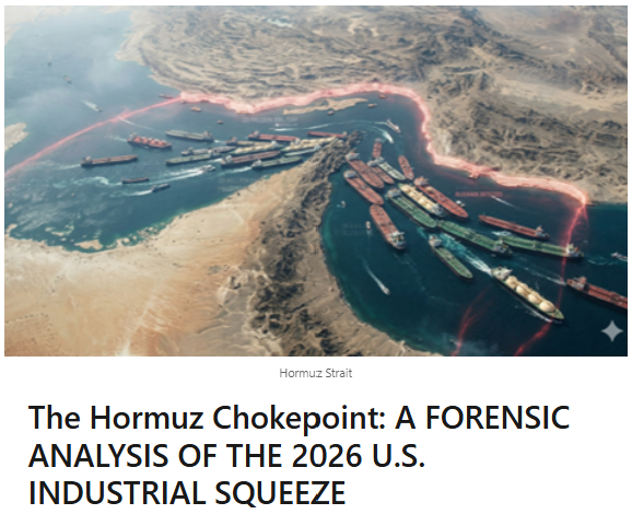
This was posted on our social a month ago and is more timely than ever.